Safety note: Admin approval is an initial review, not a guarantee that every detail is correct. Check important or urgent claims with official sources and report anything inaccurate or unsafe.
Source and credit: Contributor's own report
South Burnett Council Considers New Plan to Map Koala Habitat - Kingaroy, QLD
Smart summary
The proposed mapping project aims to identify koala populations, habitat corridors and high-risk roads across the region, following concerns over land clearing near Kingaroy.
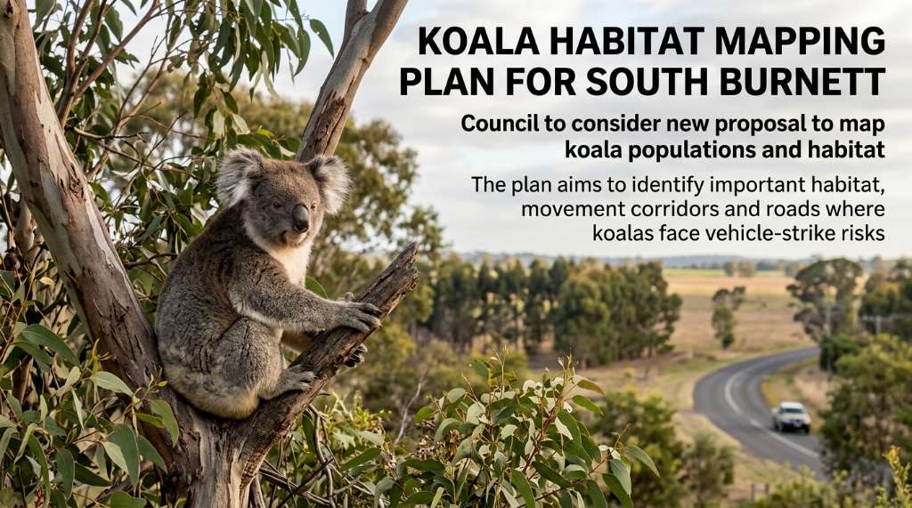
A proposal to create detailed koala habitat mapping across the South Burnett region is set to go before South Burnett Regional Council, with the initiative aimed at giving the council better information about where koalas live, move and face risks from vehicles. The proposal is scheduled to be considered at the council's 19 August 2026 general meeting.
The proposal is being put forward by Councillor Danita Potter, who is seeking a comprehensive investigation into the cost of mapping koala populations, important movement areas and roads where koalas are most vulnerable to vehicle strikes. The objective is to replace uncertainty with reliable local information that can be used when future decisions are made.
The push for mapping follows strong community concern surrounding an 85-hectare land-clearing project at Taabinga. Residents had raised concerns about the loss of bushland and its importance to native wildlife, including koalas. The area is located around Kingaroy Burrandowan Road and Boonenne-Ellesmere Road and was described by residents as an important wildlife corridor.
Following the clearing, a 49-lot redevelopment application was lodged by Longhorn Projects for the site. The controversy highlighted concerns about the availability of reliable information about koala habitat and the role that verified data can play in planning and development decisions.
Supporters of the proposed mapping argue that better information could help the council make more evidence-based decisions in the future. Rather than relying on general assumptions about where koalas may be present, detailed mapping could identify important habitat, movement corridors and locations where koalas are regularly active.
The proposed mapping could also help identify roads where koalas face a higher risk of being struck by vehicles. The motion suggests that reliable information could allow council to consider targeted koala warning signs at locations where they are most needed instead of relying on signs without supporting evidence.
The issue extends beyond the Taabinga development. The council is also dealing with a request to establish koala habitat on a 2.428-hectare council-owned property near Kingaroy Burrandowan Road. Koala Rescue Queensland members and local residents have raised concerns about vegetation and movement conditions at the site.
However, the property has a complicated history because it was previously used as a landfill. South Burnett Mayor Kathy Duff has said the council needs to determine whether the site is safe for public access and understand how its former use could affect any rehabilitation work intended to create koala habitat.
In March, the council agreed to remove surface rubbish from the site and seek expressions of interest from incorporated community groups interested in maintaining and rehabilitating part of the property for koala habitat.
The new mapping proposal therefore represents a broader attempt to improve the information available to South Burnett decision-makers. If supported, the mapping could potentially be considered in future planning, infrastructure and vegetation-management decisions, while also helping identify areas where koalas need greater protection.
CouncilKoalaMappingHabitatKoalas
A proposal to create detailed koala habitat mapping across the South Burnett region is set to go before South Burnett Regional Council, with the initiative aimed at giving the council better information about where koalas live, move and face risks from vehicles. The proposal is scheduled to be considered at the council's 19 August 2026 general meeting.
The proposal is being put forward by Councillor Danita Potter, who is seeking a comprehensive investigation into the cost of mapping koala populations, important movement areas and roads where koalas are most vulnerable to vehicle strikes. The objective is to replace uncertainty with reliable local information that can be used when future decisions are made.
The push for mapping follows strong community concern surrounding an 85-hectare land-clearing project at Taabinga. Residents had raised concerns about the loss of bushland and its importance to native wildlife, including koalas. The area is located around Kingaroy Burrandowan Road and Boonenne-Ellesmere Road and was described by residents as an important wildlife corridor.
Following the clearing, a 49-lot redevelopment application was lodged by Longhorn Projects for the site. The controversy highlighted concerns about the availability of reliable information about koala habitat and the role that verified data can play in planning and development decisions.
Supporters of the proposed mapping argue that better information could help the council make more evidence-based decisions in the future. Rather than relying on general assumptions about where koalas may be present, detailed mapping could identify important habitat, movement corridors and locations where koalas are regularly active.
The proposed mapping could also help identify roads where koalas face a higher risk of being struck by vehicles. The motion suggests that reliable information could allow council to consider targeted koala warning signs at locations where they are most needed instead of relying on signs without supporting evidence.
The issue extends beyond the Taabinga development. The council is also dealing with a request to establish koala habitat on a 2.428-hectare council-owned property near Kingaroy Burrandowan Road. Koala Rescue Queensland members and local residents have raised concerns about vegetation and movement conditions at the site.
However, the property has a complicated history because it was previously used as a landfill. South Burnett Mayor Kathy Duff has said the council needs to determine whether the site is safe for public access and understand how its former use could affect any rehabilitation work intended to create koala habitat.
In March, the council agreed to remove surface rubbish from the site and seek expressions of interest from incorporated community groups interested in maintaining and rehabilitating part of the property for koala habitat.
The new mapping proposal therefore represents a broader attempt to improve the information available to South Burnett decision-makers. If supported, the mapping could potentially be considered in future planning, infrastructure and vegetation-management decisions, while also helping identify areas where koalas need greater protection.
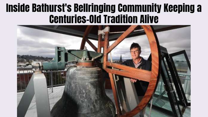
Bathurst bellringers are preparing to gather to celebrate a historic tradition dating back to 17th-century England, bringing together a community dedica...
Changes to Australia’s working holiday visa program have raised concerns among tourism and hospitality businesses in Far North Queensland, where backpac...
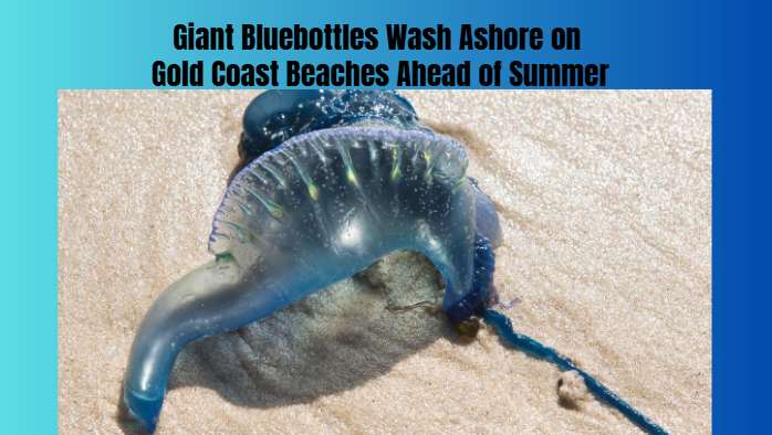
Bluebottles measuring up to three times the usual size have been washing onto Gold Coast beaches earlier than expected, prompting questions from scienti...
A high-tech greenhouse at Pacific Pines State High School is giving students hands-on experience in growing fresh produce, learning science and developi...
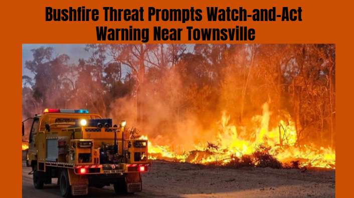
Fire crews and water-bombing helicopters are responding to a fast-moving bushfire near Oak Valley, north of Townsville, as residents in nearby areas are...
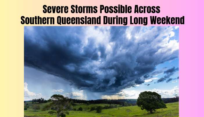
The Bureau of Meteorology is warning of possible thunderstorms across southern Queensland during the King’s Birthday long weekend, with unsettled weathe...
Changes to Australia’s working holiday visa program have raised concerns among tourism and hospitality businesses in Far North Queensland, where backpac...
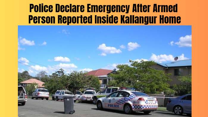
Queensland Police established an emergency exclusion zone in Kallangur, north of Brisbane, after receiving reports of an armed person inside a residence...
A 36-year-old man extradited from Perth has received a suspended prison sentence after being convicted over a violent incident involving four people at...
Darwin's Frontier Bar and Grill manager Aston Bell has received two industry awards, recognising her leadership, customer service and contribution to th...
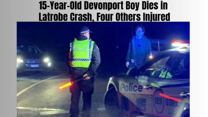
A teenager from Devonport has died and four other people were injured after a serious crash involving a ute on Mersey Main Road near Latrobe, Tasmania.