Queenslanders can expect a noticeable change in weather conditions over the coming days as a warmer and wetter air mass moves across the state, ending a period of cold winter mornings that brought frost to several inland regions. According to the Bureau of Meteorology (BOM), temperatures will gradually increase from Thursday onwards while rain and cloud cover spread across much of the state.
The change follows a particularly chilly start to winter across parts of Queensland. Areas including the Darling Downs, Granite Belt and Carnarvon Ranges experienced frosty mornings earlier in the week, with temperatures falling below freezing in some locations. Residents in these regions have endured some of the coldest conditions of the season, but meteorologists say those frosts are now likely to disappear as cloud and moisture increase.
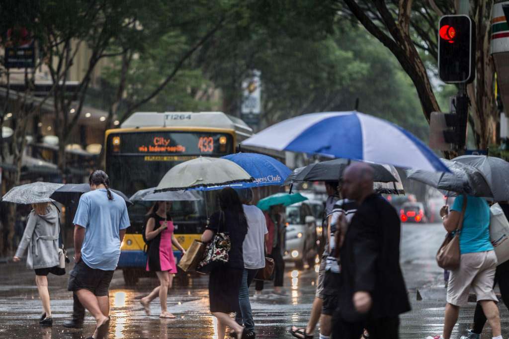
Senior meteorologist Harry Clark said showers would begin developing along the Queensland coast from Thursday before extending through the weekend. While rainfall is not expected to be particularly heavy in south-east Queensland, scattered showers are forecast for Brisbane and surrounding areas. Most locations in the south-east are expected to receive less than 10 millimetres of rain, with Sunday likely to be the wettest day.
Far North Queensland is expected to see higher rainfall totals. Communities along the Cassowary Coast could receive between 20 and 30 millimetres of rain each day as moist onshore winds continue to feed showers into the region. Coastal areas are expected to experience the most consistent rainfall, while inland districts will see more isolated activity.
Meteorologists are also monitoring the possibility of thunderstorms developing across parts of south-west Queensland during Friday and Saturday. Areas including Thargomindah, Quilpie, the Maranoa and Warrego districts may record rainfall totals of up to 30 millimetres. While the storms are not expected to become severe, forecasters noted that such rainfall is unusual for this time of year, particularly during what is typically the dry season for many inland communities.
The increased cloud cover and rainfall will also bring milder overnight temperatures. Brisbane is forecast to record minimum temperatures of around 12 to 13 degrees Celsius, with daytime temperatures reaching between 21 and 22 degrees. Inland centres such as Ipswich will remain slightly cooler overnight but will still experience temperatures well above those recorded earlier in the week. Stanthorpe, one of the state's coldest locations, is expected to see minimum temperatures around 7 degrees Celsius, considerably warmer than the minus 1 degree recorded recently.
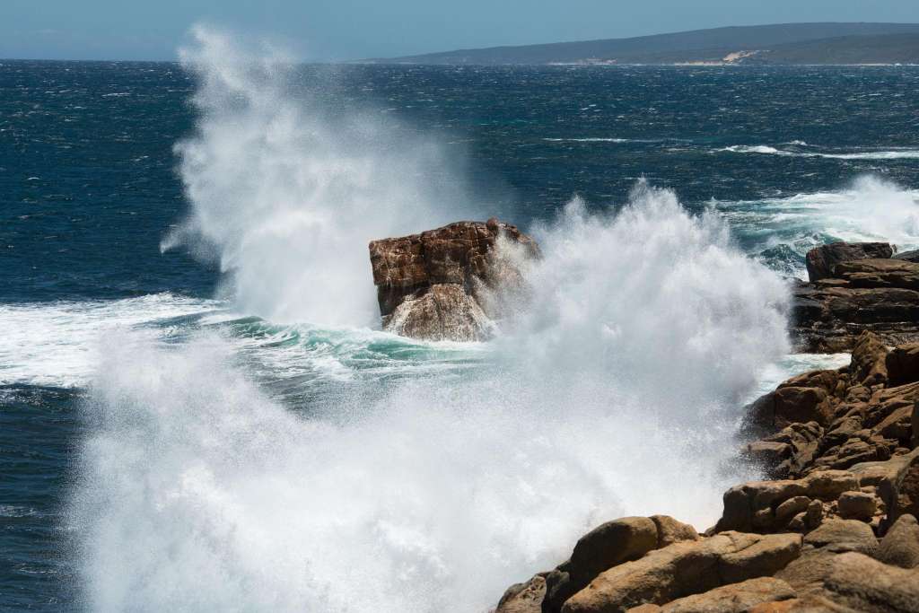
In addition to the rain, the Bureau has issued strong wind warnings for parts of Queensland's northern coastal waters. Areas around the Cairns Peninsula and Cooktown are expected to experience south-easterly winds of up to 55 kilometres per hour. Boaters and recreational water users have been advised to exercise caution, while coastal communities are being urged to monitor weather updates.
The warmer conditions are expected to persist into next week, providing relief from the recent cold snap while bringing a welcome burst of moisture to several regions. Forecasters say the combination of cloud cover, rainfall and stronger onshore winds will create a much milder pattern across Queensland as winter progresses.