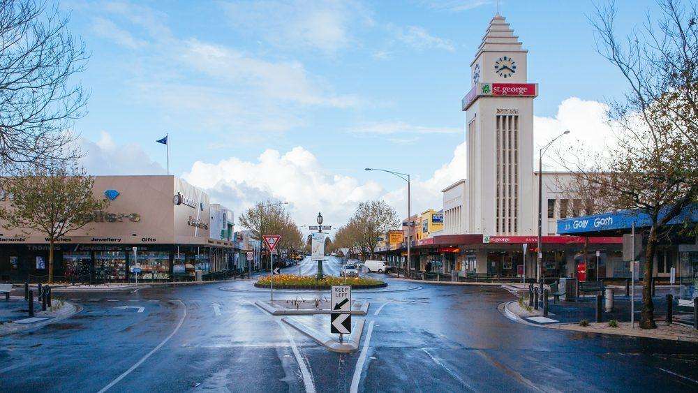
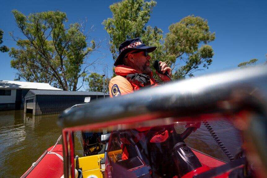
Dramatic aerial images have revealed the extent of flooding in Bundaberg after the Burnett River surged to a major flood peak of 7.4 metres. The floodwaters swept through streets and inundated more than 350 homes and businesses, including a local Mitre 10 store. In some parts of the city, boats became the only means of transport as household items and debris floated through residential areas. Emergency authorities issued evacuation orders as river levels continued to rise, making this Bundaberg’s most significant flood since the record-breaking 2013 disaster. The flooding also claimed two lives in the nearby North Burnett region, where two Chinese backpackers were killed after their vehicle was swept away by fast-moving floodwaters. Before-and-after imagery supplied by Nearmap highlights the dramatic transformation of the city and the widespread impact of the natural disaster on homes, businesses and infrastructure across the Bundaberg region.
Weather News
Before-and-after images reveal scale of devastating Bundaberg floods
Dramatic aerial images have revealed the extent of flooding in Bundaberg after the Burnett River surged to a major flood peak of 7.4 metres. The floodwaters swept through streets and inundated more than 350 homes and...
Related articles
Same category, city, state and trending public updates.Same category

ABC Hobart Gardening Talkback Shares Winter Tips for Safe Tree Transplanting
Gardening expert Jennifer Stackhouse advises Tasmanians on moving trees, winter planting and caring for fruit trees during the latest ABC Hobart Gardeni...
Warrnambool records one of its wettest and warmest Junes on record
Warrnambool experienced its third-warmest June and one of its wettest in more than a century of weather observations, with persistent rainfall and above...

Dark Lab abandons MONA's 'Transformer' art project for Tasmania's far south
Dark Lab, the creative arm of MONA, has cancelled its long-planned Transformer public art installation at Ida Bay in Tasmania's Huon Valley, citing risin...
Man rescued from car rooftop as South Australia begins storm clean-up
A 73-year-old man was rescued after becoming stranded on the roof of his vehicle in floodwaters at Finniss, while emergency crews across South Australia...
Same city
No same-city articles are available yet.
Same state

Thousands Take on Gruelling Half Marathon as Gold Coast Marathon Weekend Begins
More than 11,000 runners tackled the half marathon as the 46th Gold Coast Marathon got underway, with a record number of participants expected across th...
Former Homeless Gold Coasters Call for Trauma-Focused Support Instead of Tent Clearances
People who have overcome homelessness and addiction are urging the Queensland Government to invest in long-term trauma recovery and rehabilitation, argu...

Gold Coast Man With Parkinson's Shares Laughter After Brain Surgery and Jimmy Carr Show
Just two weeks after undergoing life-changing brain surgery for Parkinson's disease, a Gold Coast man found himself the target of comedian Jimmy Carr's...
Stalking Case Delayed Again as Court Orders Mental Health Assessment
A Sunshine Coast man's sentencing has been postponed after his lawyer sought a forensic psychological assessment, despite objections from prosecutors an...
Trending articles
Nhulunbuy Faces Uncertain Future as Rio Tinto Mine Closure Approaches
Residents of the remote Northern Territory town of Nhulunbuy are calling for stronger leadership and clearer transition planning as Rio Tinto prepares t...

Invasion Day Photograph Among Finalists in Prestigious Indigenous Art Awards
A powerful black-and-white photograph taken during Perth's 2026 Invasion Day rally is among the finalists in the 2026 Telstra National Aboriginal and To...
Coroner Rules Death of Missing Bushwalker Esther Wallace Was Not Suspicious
A NSW coronial inquest has concluded that the death of Esther Wallace, who disappeared during a midnight bushwalk near Orange in 2022, was not suspiciou...
American Food Reviewer Samples Wollongong's Authentic Texas-Style Barbecue
Wollongong's thriving food scene has gained international attention after an American visitor known as "Texan Tyler" stopped by a local restaurant to sample its authentic Texas-...