Safety note: Admin approval is an initial review, not a guarantee that every detail is correct. Check important or urgent claims with official sources and report anything inaccurate or unsafe.
Source and credit: Contributor's own report
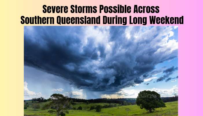
Severe Storms Possible Across Southern Queensland During Long Weekend - Brisbane, QLD
Smart summary
The Bureau of Meteorology is warning of possible thunderstorms across southern Queensland during the King’s Birthday long weekend, with unsettled weather expected to develop in parts of the south-east and central regi...
Queensland is preparing for a change in weather conditions over the King’s Birthday long weekend, with thunderstorms possible across parts of the state’s southern regions from Saturday, 3 October 2026. The Bureau of Meteorology (BOM) has forecast an increased chance of showers and storms, particularly in the far south-west, southern interior and areas near the New South Wales border.
BOM senior forecaster Felim Hanniffy said October traditionally marks the beginning of a period of increased storm activity across Queensland. Thunderstorms were expected to develop first in parts of the far south-west and southern inland areas, with further activity possible around south-east Queensland early next week.
The bureau warned that the developing weather pattern could bring a more unsettled period to south-east and central Queensland. While severe thunderstorms are possible, the precise locations and intensity of any storms will depend on how conditions develop.
The forecast comes as Queensland moves further into spring, a season when warmer temperatures and changing atmospheric conditions can contribute to thunderstorm development. Residents in affected areas are being encouraged to monitor weather forecasts and any warnings issued by authorities.
Northern Queensland is expected to experience a different pattern, with coastal showers continuing in some areas. Conditions are forecast to become calmer in parts of the north by Monday, with lighter winds potentially improving boating conditions in tropical areas and providing some relief in regions facing elevated fire danger.
Temperature patterns are also expected to vary across the state. Southern inland areas and parts of south-east Queensland are forecast to experience temperatures around two to five degrees Celsius above average. Meanwhile, much of northern Queensland is expected to remain cooler than usual for this time of year.
The long weekend coincides with the final days of Queensland school holidays, meaning more families may be travelling, visiting outdoor attractions or spending time on the water. Changing weather conditions could affect outdoor activities, road travel and recreational boating, particularly if thunderstorms develop.
The BOM has advised that storm activity could increase around the south-east in the early part of the following week, potentially marking the start of a more unsettled weather period. Forecasts may change as meteorologists receive updated observations and refine their assessments.
Residents are encouraged to secure loose outdoor items, avoid exposed areas during thunderstorms and stay away from flooded roads or waterways. Boaters should check local marine forecasts before heading out and reconsider travel if conditions deteriorate.
Although storms are forecast in parts of southern Queensland, the risk is not uniform across the state. People should check local forecasts and official severe-weather warnings for their specific area rather than relying solely on broad regional predictions.
The BOM will continue monitoring conditions and updating its forecasts as the long weekend progresses.
QueenslandConditionsAreasSouthernAcross
Queensland is preparing for a change in weather conditions over the King’s Birthday long weekend, with thunderstorms possible across parts of the state’s southern regions from Saturday, 3 October 2026. The Bureau of Meteorology (BOM) has forecast an increased chance of showers and storms, particularly in the far south-west, southern interior and areas near the New South Wales border.
BOM senior forecaster Felim Hanniffy said October traditionally marks the beginning of a period of increased storm activity across Queensland. Thunderstorms were expected to develop first in parts of the far south-west and southern inland areas, with further activity possible around south-east Queensland early next week.
The bureau warned that the developing weather pattern could bring a more unsettled period to south-east and central Queensland. While severe thunderstorms are possible, the precise locations and intensity of any storms will depend on how conditions develop.
The forecast comes as Queensland moves further into spring, a season when warmer temperatures and changing atmospheric conditions can contribute to thunderstorm development. Residents in affected areas are being encouraged to monitor weather forecasts and any warnings issued by authorities.
Northern Queensland is expected to experience a different pattern, with coastal showers continuing in some areas. Conditions are forecast to become calmer in parts of the north by Monday, with lighter winds potentially improving boating conditions in tropical areas and providing some relief in regions facing elevated fire danger.
Temperature patterns are also expected to vary across the state. Southern inland areas and parts of south-east Queensland are forecast to experience temperatures around two to five degrees Celsius above average. Meanwhile, much of northern Queensland is expected to remain cooler than usual for this time of year.
The long weekend coincides with the final days of Queensland school holidays, meaning more families may be travelling, visiting outdoor attractions or spending time on the water. Changing weather conditions could affect outdoor activities, road travel and recreational boating, particularly if thunderstorms develop.
The BOM has advised that storm activity could increase around the south-east in the early part of the following week, potentially marking the start of a more unsettled weather period. Forecasts may change as meteorologists receive updated observations and refine their assessments.
Residents are encouraged to secure loose outdoor items, avoid exposed areas during thunderstorms and stay away from flooded roads or waterways. Boaters should check local marine forecasts before heading out and reconsider travel if conditions deteriorate.
Although storms are forecast in parts of southern Queensland, the risk is not uniform across the state. People should check local forecasts and official severe-weather warnings for their specific area rather than relying solely on broad regional predictions.
The BOM will continue monitoring conditions and updating its forecasts as the long weekend progresses.
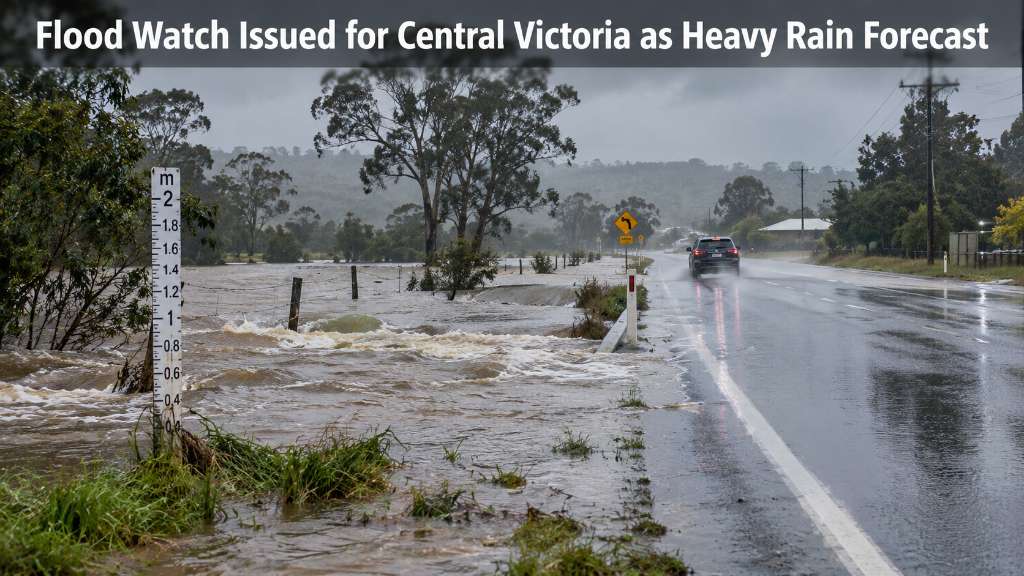
A flood watch is in place across parts of Victoria, with Ballarat and surrounding Central Victorian catchments facing the risk of minor to moderate floo...
Researchers are warning communities along South Australia's Lower Murray to prepare for more frequent flash droughts, with above-average temperatures fo...
Heavy and near-record rainfall has inundated parts of Western Australia's Goldfields and Esperance region, damaging pastoral properties and forcing the...
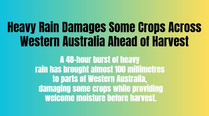
A 48-hour burst of heavy rain has brought almost 100 millimetres to parts of Western Australia, damaging some crops while providing welcome moisture bef...
Changes to Australia’s working holiday visa program have raised concerns among tourism and hospitality businesses in Far North Queensland, where backpac...
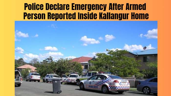
Queensland Police established an emergency exclusion zone in Kallangur, north of Brisbane, after receiving reports of an armed person inside a residence...
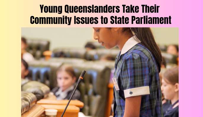
Young people from regional and remote Queensland communities are participating in youth councils and a state youth parliament, raising issues such as di...
Bluebottles measuring up to three times the usual size have been washing onto Gold Coast beaches earlier than expected, prompting questions from scienti...
A man has died after being hit by a car on the Midland Highway near Magpie, south of Ballarat. Police are investigating the circumstances of the collisi...
New South Wales senator David Shoebridge has been elected leader of the Australian Greens following an internal party-room ballot, succeeding Larissa Wa...
Changes to Australia’s working holiday visa program have raised concerns among tourism and hospitality businesses in Far North Queensland, where backpac...
Queensland Police established an emergency exclusion zone in Kallangur, north of Brisbane, after receiving reports of an armed person inside a residence...