Severe Storms Threaten South-East Queensland as Heatwave Continues in Northern Australia
By Chloe · Published 16 Nov 2026 · Updated 16 Nov 2026
Brisbane, QLD · Queensland News
Safety note: Admin approval is an initial review, not a guarantee that every detail is correct. Check important or urgent claims with official sources and report anything inaccurate or unsafe.
Source and credit: Contributor's own report
Severe Storms Threaten South-East Queensland as Heatwave Continues in Northern Australia - Brisbane, QLD
Smart summary
Meteorologists warn of giant hail, destructive winds and intense rainfall across parts of Queensland, while northern districts remain under severe heatwave warnings.
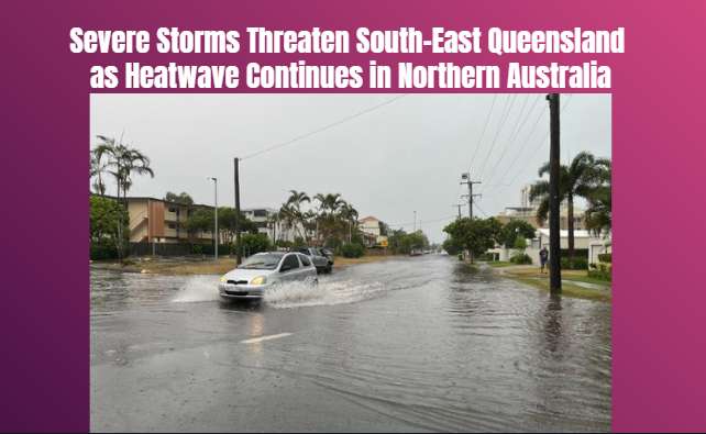
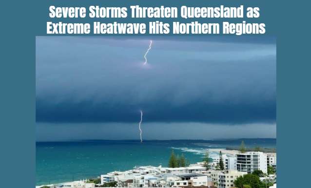
Severe thunderstorms are forecast to affect parts of south-east Queensland on Monday, November 16, with meteorologists warning residents to prepare for potentially dangerous weather conditions. The Bureau of Meteorology has warned that storms could bring giant hail, intense rainfall and destructive winds to several communities across the region.
The warning covers areas stretching from south of Hervey Bay towards the Gold Coast, including locations west towards Toowoomba. According to the latest forecast, thunderstorms could begin developing around midday, with the most significant storm activity expected between approximately 2 pm and 5 pm.
Meteorologists have warned that some storms could produce hailstones larger than five centimetres in diameter. Wind gusts exceeding 125 kilometres per hour are also possible in the strongest storm cells. Such conditions can create dangerous situations for motorists, pedestrians and residents, particularly in areas exposed to falling trees, damaged roofs and flying debris.
Brisbane and surrounding communities are among the areas being advised to monitor changing weather conditions throughout the day. Residents have been encouraged to follow official weather warnings and take reasonable precautions before severe conditions arrive.
The latest warning follows a weekend of unsettled weather across several parts of Queensland. Storms affected areas of the eastern Darling Downs and locations near Gatton late on Friday and into Saturday morning. Some locations south-west of Toowoomba recorded substantial rainfall, with reports of up to 80 millimetres falling within two hours.
Further thunderstorms developed on Sunday, affecting parts of south-east Queensland, the Darling Downs, Maranoa and Warrego, Central Highlands and north-western Queensland. Strong winds were also recorded around Stanthorpe, where gusts exceeding 65 kilometres per hour were reported. Some properties experienced damage during the conditions.
The weather has also kept emergency services busy. Queensland State Emergency Service crews responded to 27 requests for assistance during the 24 hours leading up to 6 am Monday. Logan City and Cloncurry Shire each accounted for 10 of those calls.
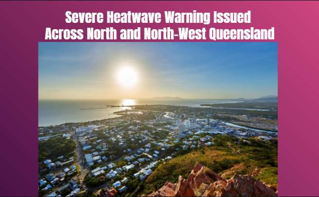
While southern Queensland faces the possibility of severe thunderstorms, northern parts of the state are dealing with a different weather challenge. A severe heatwave warning remains active for the Cape York Peninsula, North Tropical Coast and Tablelands districts.
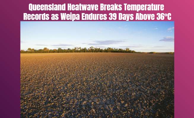
Weipa has recorded an extended period of unusually high temperatures, with 41 consecutive days above 36 degrees Celsius as of Sunday. Meteorologists have warned that the hot conditions could continue intensifying throughout the coming days.
Authorities expect the risk of severe thunderstorms in south-east Queensland to begin moving north from Tuesday. Further unsettled weather is forecast across parts of northern Queensland and the Capricornia Coast.
Residents are advised to secure loose outdoor objects, avoid unnecessary travel during severe storms and stay away from flooded roads. People in heatwave-affected areas should also remain hydrated, limit strenuous outdoor activities and take particular care of children, older people and pets.
The changing conditions highlight the importance of monitoring official weather updates as Queensland experiences both severe storm risks and prolonged extreme heat.
QueenslandSevereWeatherConditionsAreas
Severe thunderstorms are forecast to affect parts of south-east Queensland on Monday, November 16, with meteorologists warning residents to prepare for potentially dangerous weather conditions. The Bureau of Meteorology has warned that storms could bring giant hail, intense rainfall and destructive winds to several communities across the region.
The warning covers areas stretching from south of Hervey Bay towards the Gold Coast, including locations west towards Toowoomba. According to the latest forecast, thunderstorms could begin developing around midday, with the most significant storm activity expected between approximately 2 pm and 5 pm.
Meteorologists have warned that some storms could produce hailstones larger than five centimetres in diameter. Wind gusts exceeding 125 kilometres per hour are also possible in the strongest storm cells. Such conditions can create dangerous situations for motorists, pedestrians and residents, particularly in areas exposed to falling trees, damaged roofs and flying debris.
Brisbane and surrounding communities are among the areas being advised to monitor changing weather conditions throughout the day. Residents have been encouraged to follow official weather warnings and take reasonable precautions before severe conditions arrive.
The latest warning follows a weekend of unsettled weather across several parts of Queensland. Storms affected areas of the eastern Darling Downs and locations near Gatton late on Friday and into Saturday morning. Some locations south-west of Toowoomba recorded substantial rainfall, with reports of up to 80 millimetres falling within two hours.
Further thunderstorms developed on Sunday, affecting parts of south-east Queensland, the Darling Downs, Maranoa and Warrego, Central Highlands and north-western Queensland. Strong winds were also recorded around Stanthorpe, where gusts exceeding 65 kilometres per hour were reported. Some properties experienced damage during the conditions.
The weather has also kept emergency services busy. Queensland State Emergency Service crews responded to 27 requests for assistance during the 24 hours leading up to 6 am Monday. Logan City and Cloncurry Shire each accounted for 10 of those calls.
While southern Queensland faces the possibility of severe thunderstorms, northern parts of the state are dealing with a different weather challenge. A severe heatwave warning remains active for the Cape York Peninsula, North Tropical Coast and Tablelands districts.
Weipa has recorded an extended period of unusually high temperatures, with 41 consecutive days above 36 degrees Celsius as of Sunday. Meteorologists have warned that the hot conditions could continue intensifying throughout the coming days.
Authorities expect the risk of severe thunderstorms in south-east Queensland to begin moving north from Tuesday. Further unsettled weather is forecast across parts of northern Queensland and the Capricornia Coast.
Residents are advised to secure loose outdoor objects, avoid unnecessary travel during severe storms and stay away from flooded roads. People in heatwave-affected areas should also remain hydrated, limit strenuous outdoor activities and take particular care of children, older people and pets.
The changing conditions highlight the importance of monitoring official weather updates as Queensland experiences both severe storm risks and prolonged extreme heat.
Far North Queensland continues to experience extreme temperatures, with Weipa recording its hottest November day and communities facing water shortages...
Port Macquarie New South Wales · Weather News · 12 Nov 2026
Residents across the New South Wales Mid North Coast are dealing with property damage after a severe storm swept through the region on Wednesday afternoon, 11 November. Wauchope...
Residents are being urged to take precautions as high temperatures affect several regions, with some inland communities expected to experience maximum t...
Severe thunderstorms bringing possible large hail, damaging winds and flash flooding are forecast across south-east Queensland, while temperatures in th...
The Australian Government is considering moving the major Great Barrier Reef aquarium to Townsville's Strand after an engineering report raised concerns...
A special soybean planting strategy is helping Australia move closer to eradicating red witchweed, an invasive parasite that has damaged agricultural cr...
Government support brings fresh hope to Mount Isa’s plan for a research facility aimed at attracting investment and creating new opportunities in Queens...
NSW patient survey findings highlight safety concerns in several major hospitals, as the state government commits additional security staff to emergency...
Police are investigating a daylight theft after three valuable trophies belonging to Australia's legendary racehorse were taken from an exhibition displ...
Operation Amarok 15 resulted in 1,594 charges, hundreds of apprehended domestic violence order breaches identified and dozens of firearms seized across...