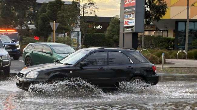
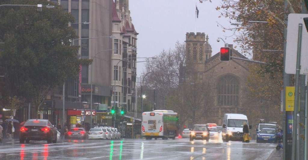
South Australia has been hit by a burst of wet and wild weather, with thunderstorms, heavy rain and strong winds affecting multiple regions including Adelaide and surrounding districts as a cold front sweeps across the state.
According to the Bureau of Meteorology (Bo M), some areas have already recorded around 10 to 15 millimetres of rainfall overnight, with more showers expected to continue throughout the day. The system is part of a broader pattern of unstable winter weather bringing repeated bursts of storms across southern Australia.
The most intense activity has been seen in and around Adelaide, where thunderstorms earlier in the morning produced widespread lightning strikes. Meteorologists reported that around 50,000 lightning strikes were recorded in a 12-hour period, with a significant number of those hitting the ground. The majority of strikes occurred across the North East Pastoral region and Adelaide surrounds, highlighting the widespread nature of the storm system.
The weather event has not only delivered rainfall but also caused disruption. Transport authorities confirmed that lightning activity delayed infrastructure work in the city, including major tunnelling projects. Emergency services and transport officials have urged motorists and commuters to take care due to slippery roads and rapidly changing conditions.
The Bureau of Meteorology has also issued strong wind warnings for parts of the state, with further damaging wind gusts possible as storms continue to develop. Some coastal and agricultural regions are expected to experience the most persistent winds, particularly as the cold front moves eastward.
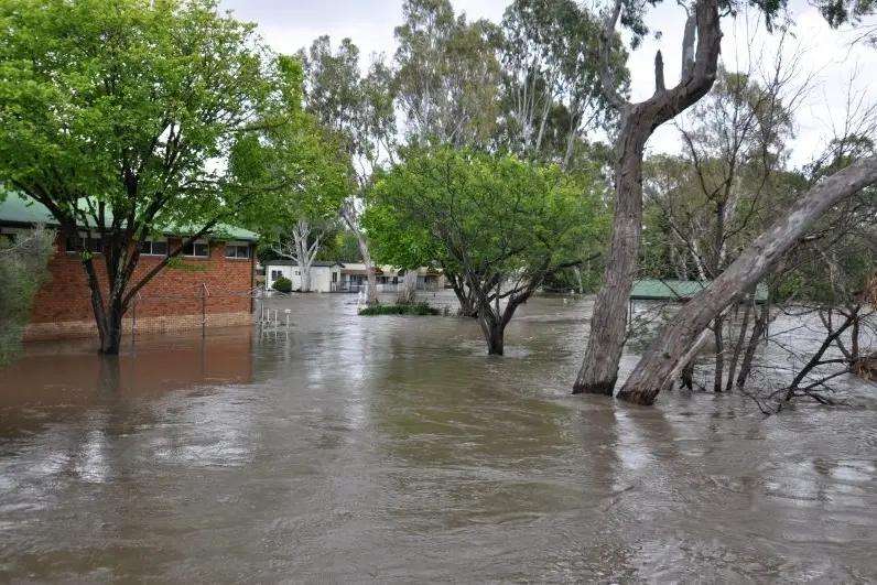
While rainfall amounts have been relatively moderate so far in many areas, isolated heavier falls have been recorded in parts of the state. Some rural and pastoral districts saw higher totals compared to metropolitan Adelaide, with storm cells producing uneven rainfall distribution typical of winter thunderstorm systems.
Authorities have warned that conditions may continue to shift quickly, with the Bureau indicating that additional rainfall and gusty winds could persist into Thursday before easing later in the week. Temperatures are also expected to drop, with cooler air moving in behind the system.
Emergency services have reminded residents to remain cautious during severe weather, especially when driving. Wet roads, reduced visibility and sudden gusts of wind can increase the risk of accidents, particularly during peak storm activity.
Despite the disruption, the rainfall is also providing short-term relief for dry areas of the state, though meteorologists caution that this is part of a highly variable winter pattern rather than a sustained wet period.
As the system moves through, South Australians are being urged to stay updated with official weather warnings and prepare for further showers and thunderstorms before conditions gradually settle.