Safety note: Admin approval is an initial review, not a guarantee that every detail is correct. Check important or urgent claims with official sources and report anything inaccurate or unsafe.
Source and credit: Contributor's own report
Queensland’s Far North Braces for More Rain as Rest of State Faces Dry Spring - Cairns, QLD
Smart summary
Unseasonably wet, cool conditions are expected to continue in Far North Queensland through spring, while much of the state faces below-average rainfall and growing concerns about the coming wet season.
Queensland is experiencing sharply contrasting spring weather, with persistent showers and cooler temperatures across parts of the far north while much of the rest of the state continues to face drier-than-average conditions.
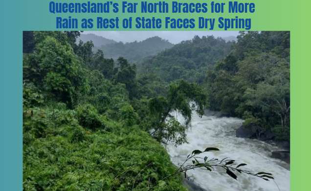
The Bureau of Meteorology expects the unseasonably wet and cool conditions in Far North Queensland to continue through the remainder of spring. The region experienced a particularly wet September, with some locations recording as much as six times their average monthly rainfall. A persistent ridge along the coast helped maintain the showers and keep temperatures lower than usual.
The conditions stand in contrast to parts of south-east Queensland and other regions that received little rainfall during September. The difference has created varied challenges for communities and industries across the state, particularly farmers who depend on suitable weather for crop growth and harvesting.
Bureau of Meteorology senior forecaster Felim Hannify said the warmer sea surface temperatures along the Queensland coast were expected to increase further over summer. Warmer ocean water can supply additional moisture to the atmosphere, increasing the potential for rainfall.
The bureau also warned that warmer ocean temperatures could increase the potential severity of tropical cyclones. This does not necessarily mean that more cyclones will form, but the conditions may contribute to more intense systems if they develop.
The developing weather pattern is particularly important for agricultural producers in the Atherton Tablelands. Local farmer Michael Coulston, who grows bananas, avocados and custard apples, said the cooler weather had slowed banana production and contributed to higher prices.
Extended periods of wet weather can delay flowering, disrupt farm operations and affect the timing of harvests. While rain is essential for agriculture, excessive or poorly timed rainfall can make it difficult for growers to manage crops and maintain consistent supplies.
The outlook for the coming months will depend on how ocean temperatures, broader climate patterns and local weather systems interact. El Niño conditions are typically associated with drier weather in parts of Australia, but the bureau indicated that warmer sea surface temperatures could influence how strongly that pattern affects rainfall in northern Queensland.
For residents and businesses, the contrasting conditions mean that weather-related risks will vary considerably by location. Some northern communities may need to prepare for continued rain and associated local disruptions, while farmers elsewhere may remain concerned about limited soil moisture and the effects of a dry spring.
The bureau expects temperatures to rise as the northern wet season gathers pace from December. However, seasonal forecasts describe likely patterns rather than guaranteeing conditions for a particular town or day.
The latest outlook highlights the importance of checking local forecasts and official warnings rather than assuming the entire state will experience the same weather. Queensland’s large geographical area means conditions in Cairns and the tropical north can differ substantially from those in Brisbane and the south-east.
ConditionsWeatherQueenslandTemperaturesBureau
Queensland is experiencing sharply contrasting spring weather, with persistent showers and cooler temperatures across parts of the far north while much of the rest of the state continues to face drier-than-average conditions.
The Bureau of Meteorology expects the unseasonably wet and cool conditions in Far North Queensland to continue through the remainder of spring. The region experienced a particularly wet September, with some locations recording as much as six times their average monthly rainfall. A persistent ridge along the coast helped maintain the showers and keep temperatures lower than usual.
The conditions stand in contrast to parts of south-east Queensland and other regions that received little rainfall during September. The difference has created varied challenges for communities and industries across the state, particularly farmers who depend on suitable weather for crop growth and harvesting.
Bureau of Meteorology senior forecaster Felim Hannify said the warmer sea surface temperatures along the Queensland coast were expected to increase further over summer. Warmer ocean water can supply additional moisture to the atmosphere, increasing the potential for rainfall.
The bureau also warned that warmer ocean temperatures could increase the potential severity of tropical cyclones. This does not necessarily mean that more cyclones will form, but the conditions may contribute to more intense systems if they develop.
The developing weather pattern is particularly important for agricultural producers in the Atherton Tablelands. Local farmer Michael Coulston, who grows bananas, avocados and custard apples, said the cooler weather had slowed banana production and contributed to higher prices.
Extended periods of wet weather can delay flowering, disrupt farm operations and affect the timing of harvests. While rain is essential for agriculture, excessive or poorly timed rainfall can make it difficult for growers to manage crops and maintain consistent supplies.
The outlook for the coming months will depend on how ocean temperatures, broader climate patterns and local weather systems interact. El Niño conditions are typically associated with drier weather in parts of Australia, but the bureau indicated that warmer sea surface temperatures could influence how strongly that pattern affects rainfall in northern Queensland.
For residents and businesses, the contrasting conditions mean that weather-related risks will vary considerably by location. Some northern communities may need to prepare for continued rain and associated local disruptions, while farmers elsewhere may remain concerned about limited soil moisture and the effects of a dry spring.
The bureau expects temperatures to rise as the northern wet season gathers pace from December. However, seasonal forecasts describe likely patterns rather than guaranteeing conditions for a particular town or day.
The latest outlook highlights the importance of checking local forecasts and official warnings rather than assuming the entire state will experience the same weather. Queensland’s large geographical area means conditions in Cairns and the tropical north can differ substantially from those in Brisbane and the south-east.
Nine earthquakes have shaken Victoria’s Gippsland region over a short period, prompting seismologists to explain the likelihood of further aftershocks a...
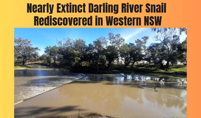
A small colony of critically endangered Darling River snails has been discovered at a weir near Walgett, offering fresh hope for a species that was fear...
The Bureau of Meteorology is warning of possible thunderstorms across southern Queensland during the King’s Birthday long weekend, with unsettled weathe...
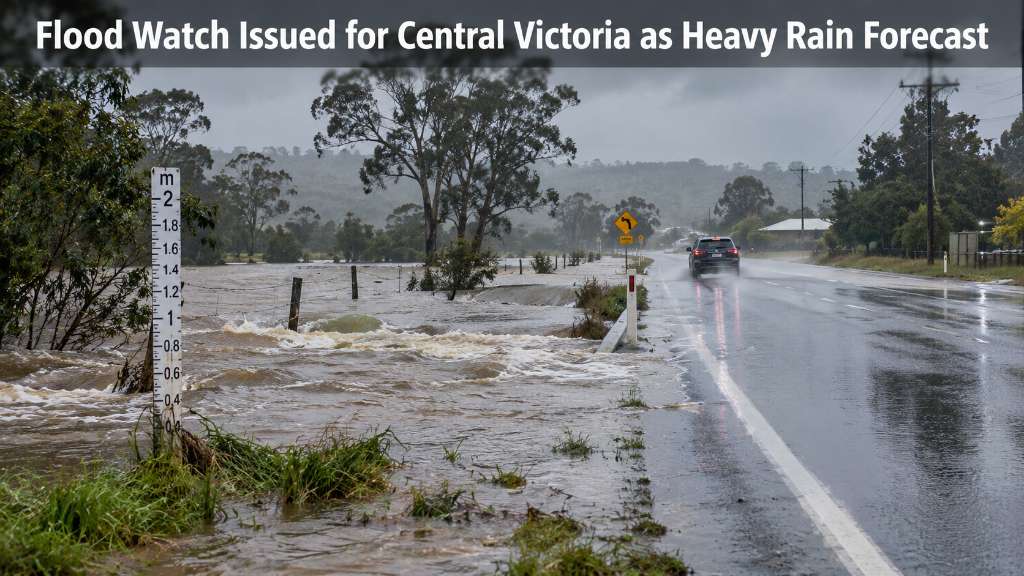
A flood watch is in place across parts of Victoria, with Ballarat and surrounding Central Victorian catchments facing the risk of minor to moderate floo...
Queensland recorded 4,110 accepted mental injury compensation claims in the latest financial year, a 108 per cent increase since 2021–22, raising questi...
Australian rock band Powderfinger has confirmed it is reuniting 16 years after announcing its split, bringing one of the country's best-known music acts...
A 47-year-old woman has been charged with two counts of attempted murder after police alleged she exposed two boys to a noxious substance at a home in B...
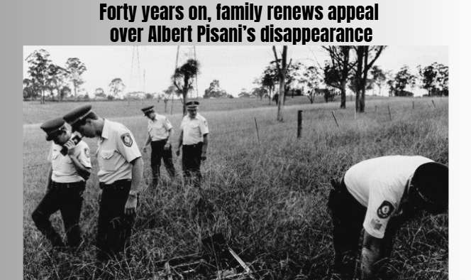
Victoria Police are renewing their appeal for information about the disappearance and suspected killing of Gippsland father Albert Pisani, whose remains...
Australian golfing champion Graham Marsh has returned to his birthplace for the WA PGA Championship, reflecting on the distinctive desert course he help...
Queensland recorded 4,110 accepted mental injury compensation claims in the latest financial year, a 108 per cent increase since 2021–22, raising questi...
Rising rents and living costs are pushing more people, including working families and older Australians, towards homelessness, according to Western Aust...