Safety note: Admin approval is an initial review, not a guarantee that every detail is correct. Check important or urgent claims with official sources and report anything inaccurate or unsafe.
Source and credit: Contributor's own report
Classic Winter Weather Brings Cool Conditions and Coastal Showers Across Queensland - Brisbane, QLD
Smart summary
A burst of cold southerly air is delivering classic winter weather across Queensland, with cooler temperatures, scattered coastal showers, gusty winds and rough surf expected over the coming days.
Queensland is experiencing a return to classic winter conditions as a cold southerly air mass moves across the state, bringing cooler temperatures, scattered coastal showers and fresh winds to many regions. According to the Bureau of Meteorology (BOM), the weather pattern is typical for this time of year and is expected to continue for several days, particularly along the state's eastern coastline.
Residents across southeast Queensland, including Brisbane, the Gold Coast and the Sunshine Coast, woke to noticeably cooler conditions as the cold air pushed north. Daytime temperatures have dropped below recent averages, while strong southerly winds are making it feel even colder. Cloudy skies and occasional light showers are forecast for many coastal communities, although rainfall totals are expected to remain relatively low.
Meteorologists say the combination of cool air moving northward and moisture from the Coral Sea is producing the scattered showers affecting coastal districts. While the rain is not expected to be widespread or heavy, it will create damp conditions and reduced visibility at times. Drivers are encouraged to take extra care on wet roads, especially during the morning and evening commute.
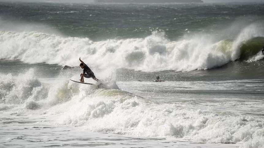
The weather system has also generated hazardous surf conditions along parts of the Queensland coastline. Large swells and powerful waves are creating dangerous conditions for swimmers, surfers and small boats. Beachgoers are being urged to follow advice from local authorities and lifeguards, while recreational boaters are advised to monitor marine forecasts before heading out onto the water. Strong rip currents and rough seas are expected to continue until winds begin to ease later in the week.
Away from the coast, inland Queensland is expected to remain mostly dry under clear skies. However, overnight temperatures will fall sharply, with several inland communities forecast to record single-digit minimum temperatures. Frost is possible in some of the colder southern inland areas during the early morning hours, while patches of fog may develop in sheltered valleys before clearing after sunrise.
The Bureau of Meteorology expects the cool weather pattern to remain in place for several days before temperatures gradually recover as a high-pressure system moves east across the country. Coastal showers are also expected to decrease as winds weaken, allowing for more sunshine towards the end of the week.
Although the current weather is bringing colder conditions than many Queenslanders have recently experienced, forecasters emphasise that this pattern is a normal part of the state's winter climate. The combination of crisp mornings, cool afternoons, passing coastal showers and fresh southerly winds is considered typical for July.
Authorities are encouraging residents to stay informed by checking the latest weather forecasts and warnings, particularly if planning travel or outdoor activities. People living near the coast should remain aware of changing marine conditions, while those in colder inland areas are advised to prepare for chilly overnight temperatures. Overall, Queensland's winter weather is expected to remain stable, with no widespread severe weather or flooding forecast at this stage.
ConditionsWeatherExpectedCoastalQueensland
Queensland is experiencing a return to classic winter conditions as a cold southerly air mass moves across the state, bringing cooler temperatures, scattered coastal showers and fresh winds to many regions. According to the Bureau of Meteorology (BOM), the weather pattern is typical for this time of year and is expected to continue for several days, particularly along the state's eastern coastline.
Residents across southeast Queensland, including Brisbane, the Gold Coast and the Sunshine Coast, woke to noticeably cooler conditions as the cold air pushed north. Daytime temperatures have dropped below recent averages, while strong southerly winds are making it feel even colder. Cloudy skies and occasional light showers are forecast for many coastal communities, although rainfall totals are expected to remain relatively low.
Meteorologists say the combination of cool air moving northward and moisture from the Coral Sea is producing the scattered showers affecting coastal districts. While the rain is not expected to be widespread or heavy, it will create damp conditions and reduced visibility at times. Drivers are encouraged to take extra care on wet roads, especially during the morning and evening commute.
The weather system has also generated hazardous surf conditions along parts of the Queensland coastline. Large swells and powerful waves are creating dangerous conditions for swimmers, surfers and small boats. Beachgoers are being urged to follow advice from local authorities and lifeguards, while recreational boaters are advised to monitor marine forecasts before heading out onto the water. Strong rip currents and rough seas are expected to continue until winds begin to ease later in the week.
Away from the coast, inland Queensland is expected to remain mostly dry under clear skies. However, overnight temperatures will fall sharply, with several inland communities forecast to record single-digit minimum temperatures. Frost is possible in some of the colder southern inland areas during the early morning hours, while patches of fog may develop in sheltered valleys before clearing after sunrise.
The Bureau of Meteorology expects the cool weather pattern to remain in place for several days before temperatures gradually recover as a high-pressure system moves east across the country. Coastal showers are also expected to decrease as winds weaken, allowing for more sunshine towards the end of the week.
Although the current weather is bringing colder conditions than many Queenslanders have recently experienced, forecasters emphasise that this pattern is a normal part of the state's winter climate. The combination of crisp mornings, cool afternoons, passing coastal showers and fresh southerly winds is considered typical for July.
Authorities are encouraging residents to stay informed by checking the latest weather forecasts and warnings, particularly if planning travel or outdoor activities. People living near the coast should remain aware of changing marine conditions, while those in colder inland areas are advised to prepare for chilly overnight temperatures. Overall, Queensland's winter weather is expected to remain stable, with no widespread severe weather or flooding forecast at this stage.
Queensland's emerging football prospects are coming together for a three-day Brisbane Lions State Academy showcase, giving young players an opportunity...
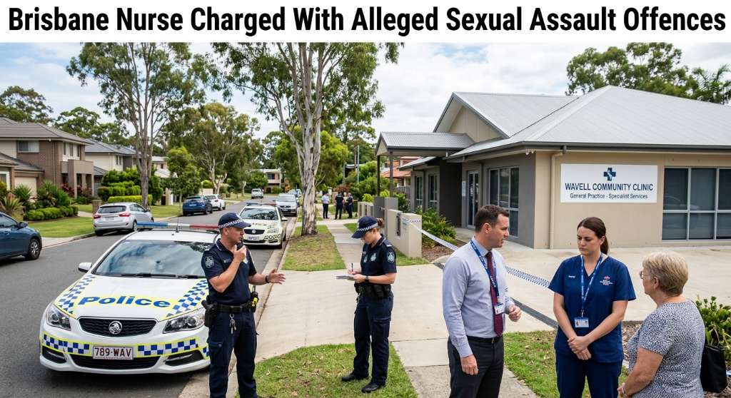
A Wavell Heights enrolled nurse has been charged with four counts of alleged sexual assault and one count of wilful exposure, with his professional regi...
A 24-year-old Carina Heights man has been charged with 36 offences following an investigation into alleged break-ins, vehicle offences and other propert...
Cairns Regional Council has unanimously voted to seek $400,000 in Queensland Government funding for a program designed to connect local businesses with the region’s growing film...
An automated external defibrillator and memorial plaque have been installed at Ellery Creek Big Hole following the death of disability advocate Ellen Fr...
Queensland firefighters spent several hours monitoring a significant grass fire at Mary Kinross Park in Bargara, near Bundaberg, after the blaze broke out on Wednesday evening....