Strong Winds and Storms in Central Queensland Set to Continue Into Weekend
By Neha · Published 16 Oct 2026 · Updated 16 Oct 2026
Central QLD, QLD
Safety note: Admin approval is an initial review, not a guarantee that every detail is correct. Check important or urgent claims with official sources and report anything inaccurate or unsafe.
Source and credit: Contributor's own report
Strong Winds and Storms in Central Queensland Set to Continue Into Weekend - Central QLD, QLD
Smart summary
Severe storm activity, heavy localised rainfall and powerful wind gusts are affecting parts of Queensland as the state's storm season begins.
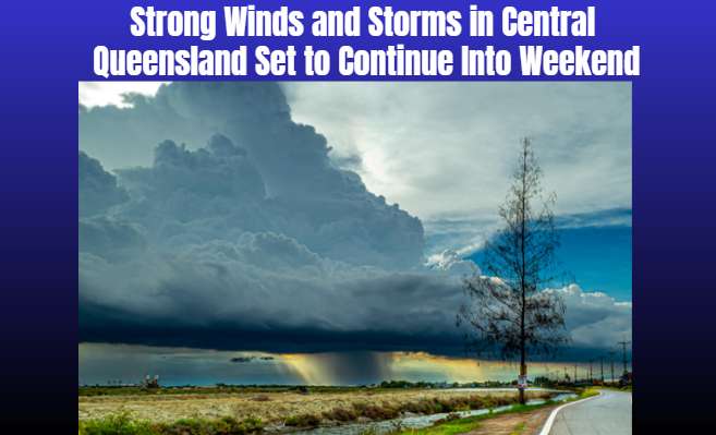
Parts of central Queensland are preparing for further unsettled weather, with thunderstorms, strong winds and heavy localised rainfall expected to continue into the weekend. The developing conditions come as Queensland enters its storm season, bringing renewed attention to weather preparedness across regional communities.
An upper-level trough moving east from Alice Springs has contributed to storm activity across western and central Queensland. The weather system has brought rain to areas that have experienced extended dry conditions, although forecasters have warned that individual storms can produce intense rainfall over short periods.
The Highlands and Central Coalfields received approximately 30 to 50 millimetres of rain on Thursday. Middlemount recorded around 120 millimetres in three hours, demonstrating how quickly rainfall totals can accumulate when thunderstorms become concentrated over a particular location.
Strong winds have also been recorded across inland Queensland. Longreach experienced gusts reaching 111 kilometres per hour on Wednesday night, breaking an October wind-speed record for the town. Such gusts can create hazardous conditions, particularly for motorists, outdoor workers and residents with unsecured outdoor equipment.
Weather conditions are expected to remain unsettled through Friday and into the weekend, with thunderstorms possible across parts of the central and southern Queensland interior. Some storm activity may also extend into the Gulf Country. Rainfall totals will vary from location to location, and isolated storms may produce heavier falls than surrounding areas. The Bureau of Meteorology has indicated that further thunderstorms could bring additional rainfall in the range of approximately 5 to 20 millimetres across affected areas, although actual totals will depend on the movement and intensity of individual storm cells.
South-east Queensland is expected to experience a different pattern. Brisbane and the Gold Coast may see isolated coastal showers rather than the more widespread inland storm activity. A high-pressure system over the Tasman Sea is expected to influence the region's weather into next week, potentially keeping showers in the forecast for several days.
Persistent cloud and rainfall are also likely to moderate temperatures across parts of the state. However, localised heavy rain, lightning and strong wind gusts can still cause disruption even when overall temperatures remain relatively mild. Emergency services are encouraging communities to remain alert as the storm season progresses. Residents should monitor official weather forecasts, secure loose outdoor items and avoid driving through floodwater. People outdoors during thunderstorms should seek appropriate shelter and stay away from exposed areas.
The State Emergency Service can assist with storm-related damage and other emergencies, while life-threatening situations should be reported to emergency services on triple zero (000). The coming days will provide a further indication of how the current weather pattern develops. Forecasts can change as storm systems move, so residents should check updated Bureau of Meteorology warnings for their specific area before travelling or undertaking outdoor activities.
The rainfall may provide welcome relief to some drought-affected areas, but the combination of thunderstorms, powerful gusts and intense localised rain means communities should remain prepared for rapidly changing conditions.
QueenslandRainfallStormWeatherAcross
Parts of central Queensland are preparing for further unsettled weather, with thunderstorms, strong winds and heavy localised rainfall expected to continue into the weekend. The developing conditions come as Queensland enters its storm season, bringing renewed attention to weather preparedness across regional communities.
An upper-level trough moving east from Alice Springs has contributed to storm activity across western and central Queensland. The weather system has brought rain to areas that have experienced extended dry conditions, although forecasters have warned that individual storms can produce intense rainfall over short periods.
The Highlands and Central Coalfields received approximately 30 to 50 millimetres of rain on Thursday. Middlemount recorded around 120 millimetres in three hours, demonstrating how quickly rainfall totals can accumulate when thunderstorms become concentrated over a particular location.
Strong winds have also been recorded across inland Queensland. Longreach experienced gusts reaching 111 kilometres per hour on Wednesday night, breaking an October wind-speed record for the town. Such gusts can create hazardous conditions, particularly for motorists, outdoor workers and residents with unsecured outdoor equipment.
Weather conditions are expected to remain unsettled through Friday and into the weekend, with thunderstorms possible across parts of the central and southern Queensland interior. Some storm activity may also extend into the Gulf Country. Rainfall totals will vary from location to location, and isolated storms may produce heavier falls than surrounding areas. The Bureau of Meteorology has indicated that further thunderstorms could bring additional rainfall in the range of approximately 5 to 20 millimetres across affected areas, although actual totals will depend on the movement and intensity of individual storm cells.
South-east Queensland is expected to experience a different pattern. Brisbane and the Gold Coast may see isolated coastal showers rather than the more widespread inland storm activity. A high-pressure system over the Tasman Sea is expected to influence the region's weather into next week, potentially keeping showers in the forecast for several days.
Persistent cloud and rainfall are also likely to moderate temperatures across parts of the state. However, localised heavy rain, lightning and strong wind gusts can still cause disruption even when overall temperatures remain relatively mild. Emergency services are encouraging communities to remain alert as the storm season progresses. Residents should monitor official weather forecasts, secure loose outdoor items and avoid driving through floodwater. People outdoors during thunderstorms should seek appropriate shelter and stay away from exposed areas.
The State Emergency Service can assist with storm-related damage and other emergencies, while life-threatening situations should be reported to emergency services on triple zero (000). The coming days will provide a further indication of how the current weather pattern develops. Forecasts can change as storm systems move, so residents should check updated Bureau of Meteorology warnings for their specific area before travelling or undertaking outdoor activities.
The rainfall may provide welcome relief to some drought-affected areas, but the combination of thunderstorms, powerful gusts and intense localised rain means communities should remain prepared for rapidly changing conditions.
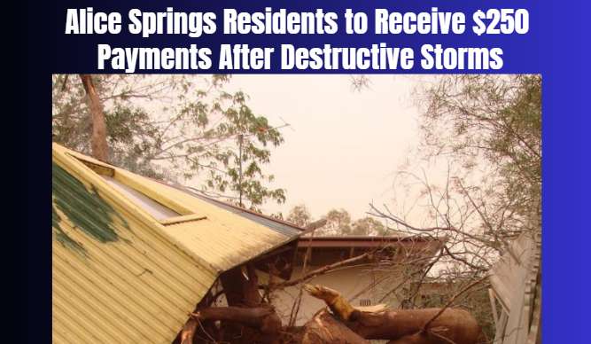
Emergency financial assistance has been announced for eligible Alice Springs residents who remain without electricity following destructive storms that...
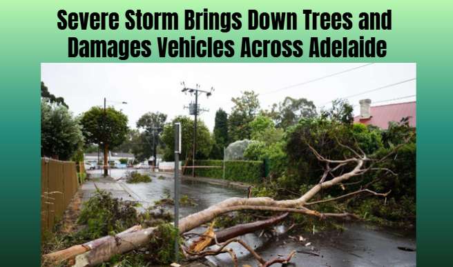
Large hailstones and damaging winds battered Adelaide, prompting more than 100 emergency assistance calls as fallen trees blocked streets and struck veh...
Unseasonably wet, cool conditions are expected to continue in Far North Queensland through spring, while much of the state faces below-average rainfall...
Australia has designated an offshore geological formation near its northern coast for a major carbon capture and storage project proposed by Japanese en...
Australian motorists face continued pressure as insurance costs rise faster than inflation, prompting calls for fairer pricing and greater transparency.
A 42-year-old man from Chisholm has been charged with two offences after investigators allegedly found child abuse material on electronic devices during...
A man and a woman have faced court after police allegedly seized several drugs and cash following a vehicle pursuit in Broken Hill, in far-western New S...
A 31-year-old man from Adelaide’s western suburbs has been charged with three counts of aggravated assault after a woman received hospital treatment for...
NSW Police are seeking public assistance to locate a 43-year-old man wanted on an outstanding warrant relating to alleged domestic violence and robbery...