By Chloe · Published 19 Oct 2026 · Updated 19 Oct 2026
Brisbane, QLD · Queensland News
Safety note: Admin approval is an initial review, not a guarantee that every detail is correct. Check important or urgent claims with official sources and report anything inaccurate or unsafe.
Source and credit: Contributor's own report
Smart summary
South East Queensland faces a prolonged period of heavy rainfall, with Brisbane, the Gold Coast and the Sunshine Coast warned of potentially significant rain totals and flash-flood risks.
South East Queensland is facing a significant wet-weather event, with a slow-moving weather system bringing heavy rainfall across the region and raising concerns about possible flash flooding, traffic disruptions and difficult travel conditions. Forecasts published on Monday, 19 October 2026, indicate that Brisbane and surrounding coastal communities could experience substantial rainfall over the coming days.
Brisbane is forecast to receive up to 145 millimetres of rain during the developing weather event. The Gold Coast could record as much as 160 millimetres, while the Sunshine Coast may receive totals of up to 170 millimetres. These figures represent forecast rainfall accumulations over several days rather than guaranteed totals for every location. Actual conditions may vary depending on the movement and intensity of the weather system.
Rainfall has already been heavy in parts of the Sunshine Coast. Sippy Downs recorded approximately 81 millimetres between 9 am and 1 pm, with 49 millimetres falling during the hour from 11:30 am to 12:30 pm. Palmview recorded around 64 millimetres during the morning period, while Mountain Creek received approximately 59 millimetres. Other locations, including Bundilla, Pelican Waters, Picnic Point and Caboolture, also reported notable rainfall.
The prolonged nature of the weather system is an important concern for residents and emergency services. When heavy rain falls over a short period, stormwater drains and local waterways can struggle to accommodate the additional water. Areas with rapidly responding creeks and river catchments may be particularly vulnerable to sudden rises in water levels and localised flooding.
The rainfall is also expected to affect transport across the region. Wet roads can reduce visibility and tyre grip, making driving more hazardous, particularly during periods of intense rain. Previous disruption associated with the current weather system has included traffic congestion and train delays in Brisbane. Commuters may need to allow additional time for journeys and check transport updates before travelling.
Forecasts indicate that the heaviest daily rainfall could occur on Thursday, when some areas may experience another substantial burst of precipitation. The Sunshine Coast is forecast to receive further significant falls on Monday, Wednesday and Thursday, while the Gold Coast could accumulate considerable rainfall through Sunday.
The developing conditions are being influenced by moist air moving in from the Coral Sea, alongside a broader atmospheric pattern that is helping sustain the rain. A cold front is expected to begin weakening the persistent weather pattern towards the weekend, although local rainfall totals and the timing of any improvement may differ between locations.
Residents across South East Queensland should remain alert to changing weather conditions, particularly if they live near creeks, rivers or flood-prone roads. People are advised to monitor official Bureau of Meteorology forecasts and Queensland emergency alerts, avoid driving through floodwater, and follow instructions issued by emergency services.
The situation remains weather-dependent, and the forecast totals should not be interpreted as confirmation that every suburb will experience flooding. Further updates will be important as the system develops throughout the week.
RainfallMillimetresWeatherCoastRain
South East Queensland is facing a significant wet-weather event, with a slow-moving weather system bringing heavy rainfall across the region and raising concerns about possible flash flooding, traffic disruptions and difficult travel conditions. Forecasts published on Monday, 19 October 2026, indicate that Brisbane and surrounding coastal communities could experience substantial rainfall over the coming days.
Brisbane is forecast to receive up to 145 millimetres of rain during the developing weather event. The Gold Coast could record as much as 160 millimetres, while the Sunshine Coast may receive totals of up to 170 millimetres. These figures represent forecast rainfall accumulations over several days rather than guaranteed totals for every location. Actual conditions may vary depending on the movement and intensity of the weather system.
Rainfall has already been heavy in parts of the Sunshine Coast. Sippy Downs recorded approximately 81 millimetres between 9 am and 1 pm, with 49 millimetres falling during the hour from 11:30 am to 12:30 pm. Palmview recorded around 64 millimetres during the morning period, while Mountain Creek received approximately 59 millimetres. Other locations, including Bundilla, Pelican Waters, Picnic Point and Caboolture, also reported notable rainfall.
The prolonged nature of the weather system is an important concern for residents and emergency services. When heavy rain falls over a short period, stormwater drains and local waterways can struggle to accommodate the additional water. Areas with rapidly responding creeks and river catchments may be particularly vulnerable to sudden rises in water levels and localised flooding.
The rainfall is also expected to affect transport across the region. Wet roads can reduce visibility and tyre grip, making driving more hazardous, particularly during periods of intense rain. Previous disruption associated with the current weather system has included traffic congestion and train delays in Brisbane. Commuters may need to allow additional time for journeys and check transport updates before travelling.
Forecasts indicate that the heaviest daily rainfall could occur on Thursday, when some areas may experience another substantial burst of precipitation. The Sunshine Coast is forecast to receive further significant falls on Monday, Wednesday and Thursday, while the Gold Coast could accumulate considerable rainfall through Sunday.
The developing conditions are being influenced by moist air moving in from the Coral Sea, alongside a broader atmospheric pattern that is helping sustain the rain. A cold front is expected to begin weakening the persistent weather pattern towards the weekend, although local rainfall totals and the timing of any improvement may differ between locations.
Residents across South East Queensland should remain alert to changing weather conditions, particularly if they live near creeks, rivers or flood-prone roads. People are advised to monitor official Bureau of Meteorology forecasts and Queensland emergency alerts, avoid driving through floodwater, and follow instructions issued by emergency services.
The situation remains weather-dependent, and the forecast totals should not be interpreted as confirmation that every suburb will experience flooding. Further updates will be important as the system develops throughout the week.
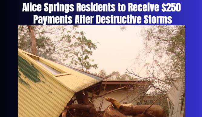
Emergency financial assistance has been announced for eligible Alice Springs residents who remain without electricity following destructive storms that...
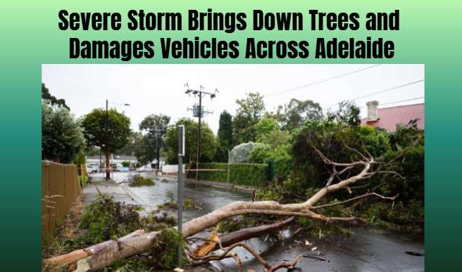
Large hailstones and damaging winds battered Adelaide, prompting more than 100 emergency assistance calls as fallen trees blocked streets and struck veh...
An Australian Defence Force member has been identified as a person of interest after a recording device was discovered aboard a Navy vessel docked in Ca...
A 53-year-old man has been charged after an alleged domestic disturbance escalated into a fire and confrontation with police on the Gold Coast. Three of...
Both dogs involved in an attack on a man in Brisbane’s northern suburbs have been captured and placed in council custody while authorities consider thei...
An Australian Defence Force member has been identified as a person of interest after a recording device was discovered aboard a Navy vessel docked in Ca...
Small-scale flower growers and local entrepreneurs in Western Australia's Kimberley region are stepping in to meet demand after the town's main florist...
A 53-year-old man has been charged after an alleged domestic disturbance escalated into a fire and confrontation with police on the Gold Coast. Three of...
Two Greenpeace activists have been charged after allegedly climbing onto Woodside’s Scarborough offshore gas platform, around 200 kilometres off Western...