Safety note: Admin approval is an initial review, not a guarantee that every detail is correct. Check important or urgent claims with official sources and report anything inaccurate or unsafe.
Source and credit: Contributor's own report
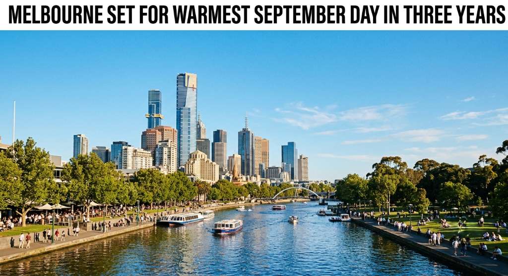
Melbourne Set for Warmest September Day in Three Years - Melbourne, VIC
Smart summary
Melbourne is forecast to reach 27°C on Sunday as a major burst of spring warmth pushes temperatures across south-eastern Australia well above average.
Melbourne is preparing for an unusually warm spring weekend, with temperatures forecast to reach 27°C on Sunday, September 20, according to the latest weather information. The forecast would make it Melbourne's warmest September day in three years, following a sharp change from the cold conditions experienced across south-eastern Australia earlier this week.
The rapid change in weather is being driven by a shift in wind patterns. A cold southerly airflow that brought unusually low temperatures to Victoria and other south-eastern states is being replaced by warmer north-westerly winds. The warmer air has travelled across the Australian interior after temperatures in Western Australia climbed significantly earlier in the week.
The change illustrates the highly variable nature of Australian spring weather. Earlier in the week, parts of south-eastern Australia experienced temperatures well below normal, while snow fell close to sea level in Tasmania. Goulburn also recorded a temperature of minus 7°C, close to its September record. Within days, the region is moving towards conditions more commonly associated with late spring or early summer.
Melbourne's forecast maximum of 27°C on Sunday would be the city's warmest September day since 2023. The temperature is expected to be accompanied by generally settled conditions, providing a significant contrast to the cold spell that affected the city earlier in the week.
Other south-eastern capitals are also expected to experience unusually warm conditions. Canberra is forecast to reach 25°C on Sunday, potentially its warmest September day in three years. Hobart could reach 27°C, which would be the Tasmanian capital's warmest September day in seven years. Sydney is expected to reach around 28°C, while western parts of Sydney could become considerably warmer, with temperatures between 30°C and 34°C forecast away from the coastal influence.
Inland areas of Victoria and New South Wales are also expected to experience temperatures in the low to mid-30s. Mildura and Griffith are among the locations forecast to potentially record some of their highest September temperatures in years.
However, the warm spell is not expected to last indefinitely. Another cold air mass moving north from the Southern Ocean is forecast to bring a rapid drop in temperatures after the warm conditions. Some locations could see temperatures fall by between 10°C and 15°C within 24 hours.
Meteorologists say the large swings are a characteristic of spring because of the strong temperature difference between Australia's tropical north and the still-cold Southern Ocean. Warm, dry air from inland Australia can move south quickly when the appropriate wind pattern develops, while cold Antarctic air can subsequently push north just as rapidly.
The latest seasonal outlook also points towards generally warmer conditions later in spring. Weather modelling indicates above-average temperatures could continue into October and November, although longer-range forecasts contain greater uncertainty than short-term forecasts.
For Melbourne residents, the immediate forecast means a major shift from winter-like conditions to a warm spring weekend. The sharp temperature change also demonstrates how quickly weather patterns can change across Victoria during September.
TemperaturesSeptemberForecastConditionsSpring
Melbourne is preparing for an unusually warm spring weekend, with temperatures forecast to reach 27°C on Sunday, September 20, according to the latest weather information. The forecast would make it Melbourne's warmest September day in three years, following a sharp change from the cold conditions experienced across south-eastern Australia earlier this week.
The rapid change in weather is being driven by a shift in wind patterns. A cold southerly airflow that brought unusually low temperatures to Victoria and other south-eastern states is being replaced by warmer north-westerly winds. The warmer air has travelled across the Australian interior after temperatures in Western Australia climbed significantly earlier in the week.
The change illustrates the highly variable nature of Australian spring weather. Earlier in the week, parts of south-eastern Australia experienced temperatures well below normal, while snow fell close to sea level in Tasmania. Goulburn also recorded a temperature of minus 7°C, close to its September record. Within days, the region is moving towards conditions more commonly associated with late spring or early summer.
Melbourne's forecast maximum of 27°C on Sunday would be the city's warmest September day since 2023. The temperature is expected to be accompanied by generally settled conditions, providing a significant contrast to the cold spell that affected the city earlier in the week.
Other south-eastern capitals are also expected to experience unusually warm conditions. Canberra is forecast to reach 25°C on Sunday, potentially its warmest September day in three years. Hobart could reach 27°C, which would be the Tasmanian capital's warmest September day in seven years. Sydney is expected to reach around 28°C, while western parts of Sydney could become considerably warmer, with temperatures between 30°C and 34°C forecast away from the coastal influence.
Inland areas of Victoria and New South Wales are also expected to experience temperatures in the low to mid-30s. Mildura and Griffith are among the locations forecast to potentially record some of their highest September temperatures in years.
However, the warm spell is not expected to last indefinitely. Another cold air mass moving north from the Southern Ocean is forecast to bring a rapid drop in temperatures after the warm conditions. Some locations could see temperatures fall by between 10°C and 15°C within 24 hours.
Meteorologists say the large swings are a characteristic of spring because of the strong temperature difference between Australia's tropical north and the still-cold Southern Ocean. Warm, dry air from inland Australia can move south quickly when the appropriate wind pattern develops, while cold Antarctic air can subsequently push north just as rapidly.
The latest seasonal outlook also points towards generally warmer conditions later in spring. Weather modelling indicates above-average temperatures could continue into October and November, although longer-range forecasts contain greater uncertainty than short-term forecasts.
For Melbourne residents, the immediate forecast means a major shift from winter-like conditions to a warm spring weekend. The sharp temperature change also demonstrates how quickly weather patterns can change across Victoria during September.
A 33-year-old woman has been charged in Mildura after Australian authorities intercepted an alleged importation of about 500 millilitres of 1,4-Butanedi...
Four girls and an 18-year-old woman were arrested after police witnessed a fight at Northland Shopping Centre in Preston on Friday night, with a knife a...
Victoria Police intelligence reports indicate concerns that young offenders may be hiding knives and other weapons around major public transport areas a...
Newcastle New South Wales · Travel News · 19 Sep 2026
A driver has come under police investigation in Newcastle after allegedly being detected travelling at 148km/h on the M1 on 19 September 2026. The incident is listed among Newca...
Emergency services were called to a home on Chambers Avenue in Bondi Beach at about 5:15pm on Saturday, 19 September 2026, following reports of a stabbing. NSW Police and parame...