Safety note: Admin approval is an initial review, not a guarantee that every detail is correct. Check important or urgent claims with official sources and report anything inaccurate or unsafe.
Source and credit: Contributor's own report
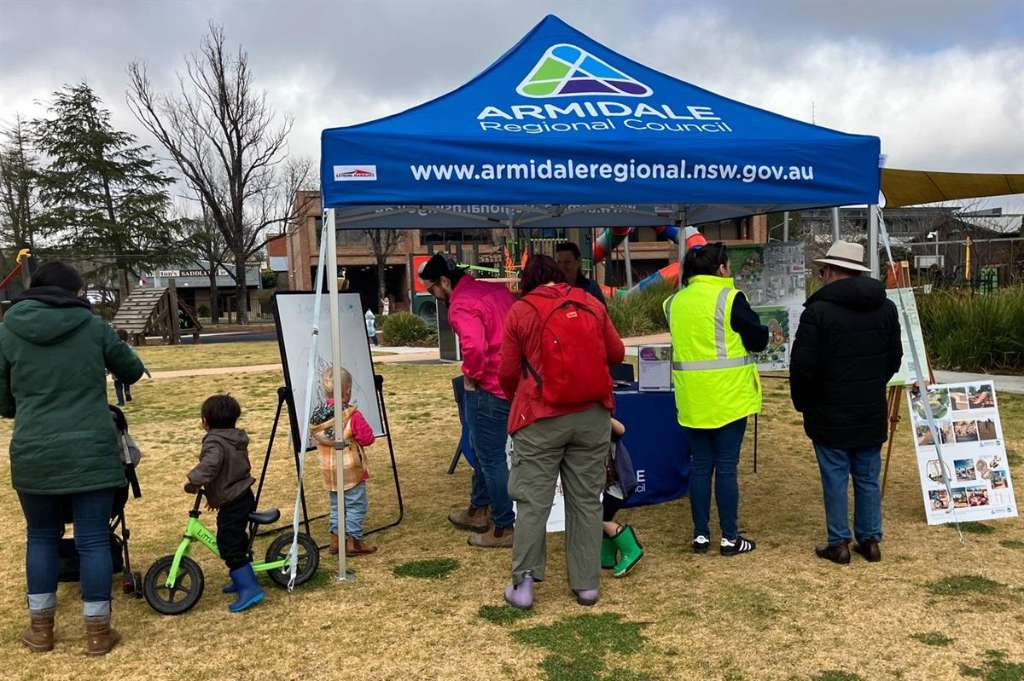
Guyra flood study completed to improve future emergency planning - Armidale, NSW
Smart summary
Armidale Regional Council has completed the first detailed flood study for the Guyra area, providing new information to help residents and emergency services better prepare for future flooding events.
A major flood study has been completed for Guyra, within the Armidale Regional Council area, giving authorities and the community a clearer understanding of local flood risks.
The study examines how water moves through the township and surrounding areas during heavy rainfall events. The information will help improve emergency response planning, future development decisions and community awareness about flood risks.
Armidale Regional Council said the project provides important new data that was previously unavailable for the Guyra area. The detailed modelling will allow council, emergency services, landowners and residents to better understand areas that may be affected during flooding.
Flood studies are used by local governments to guide planning decisions, including infrastructure improvements, drainage management and development assessments. The findings can also help communities prepare emergency plans and understand potential hazards before severe weather events occur.
Guyra is located on the Northern Tablelands and experiences a cool climate with changing weather conditions. Like many regional communities, having accurate flood information is important for protecting homes, businesses and public facilities.
Council representatives said the completed study represents an important step in building disaster resilience across the region. The information will support future planning and help ensure decisions are based on reliable flood modelling.
Residents are encouraged to stay informed about local emergency plans and weather warnings, especially during periods of heavy rainfall.
The project forms part of wider efforts across regional NSW to improve community preparedness and reduce the impact of natural disasters.
FloodEmergencyCouncilGuyraPlanning
A major flood study has been completed for Guyra, within the Armidale Regional Council area, giving authorities and the community a clearer understanding of local flood risks.
The study examines how water moves through the township and surrounding areas during heavy rainfall events. The information will help improve emergency response planning, future development decisions and community awareness about flood risks.
Armidale Regional Council said the project provides important new data that was previously unavailable for the Guyra area. The detailed modelling will allow council, emergency services, landowners and residents to better understand areas that may be affected during flooding.
Flood studies are used by local governments to guide planning decisions, including infrastructure improvements, drainage management and development assessments. The findings can also help communities prepare emergency plans and understand potential hazards before severe weather events occur.
Guyra is located on the Northern Tablelands and experiences a cool climate with changing weather conditions. Like many regional communities, having accurate flood information is important for protecting homes, businesses and public facilities.
Council representatives said the completed study represents an important step in building disaster resilience across the region. The information will support future planning and help ensure decisions are based on reliable flood modelling.
Residents are encouraged to stay informed about local emergency plans and weather warnings, especially during periods of heavy rainfall.
The project forms part of wider efforts across regional NSW to improve community preparedness and reduce the impact of natural disasters.
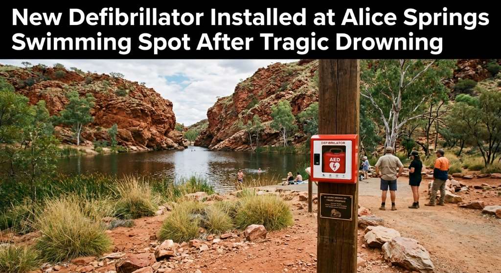
An automated external defibrillator and memorial plaque have been installed at Ellery Creek Big Hole following the death of disability advocate Ellen Fr...
Bathurst New South Wales · Community News · 17 Sep 2026
Kerry “Pecky” Peck, a long-standing Bathurst radio personality, has been inducted into the Bathurst Business Hall of Fame in recognition of his extensive contribution to the loc...
A new specialist family-violence support model has been introduced in Ballarat, with dedicated workers now embedded alongside Victoria Police to help people experiencing family...
Orange New South Wales · Community News · 17 Sep 2026
Orange City Council has elected a new Deputy Mayor for the next two years, with the decision announced today, 17 September 2026. The council said the election took place during...
A 36-year-old man has been charged after investigators allegedly found fraudulent identification documents, cloned number plates, cash and drug-manufact...
A Sydney court has heard that a man sent 249 messages to a former partner within 24 hours, with the messages treated as a single alleged breach of an ap...
A high-profile athlete has returned to court and told the hearing that an alleged unwanted kiss by former broadcaster Alan Jones remained difficult to f...
Work on the $150 million Sydney Town Hall Square project has been paused after the NSW Planning Minister referred the development for review by the Inde...
Cairns Regional Council has unanimously voted to seek $400,000 in Queensland Government funding for a program designed to connect local businesses with the region’s growing film...
An automated external defibrillator and memorial plaque have been installed at Ellery Creek Big Hole following the death of disability advocate Ellen Fr...
Queensland firefighters spent several hours monitoring a significant grass fire at Mary Kinross Park in Bargara, near Bundaberg, after the blaze broke out on Wednesday evening....