Safety note: Admin approval is an initial review, not a guarantee that every detail is correct. Check important or urgent claims with official sources and report anything inaccurate or unsafe.
Source and credit: Contributor's own report
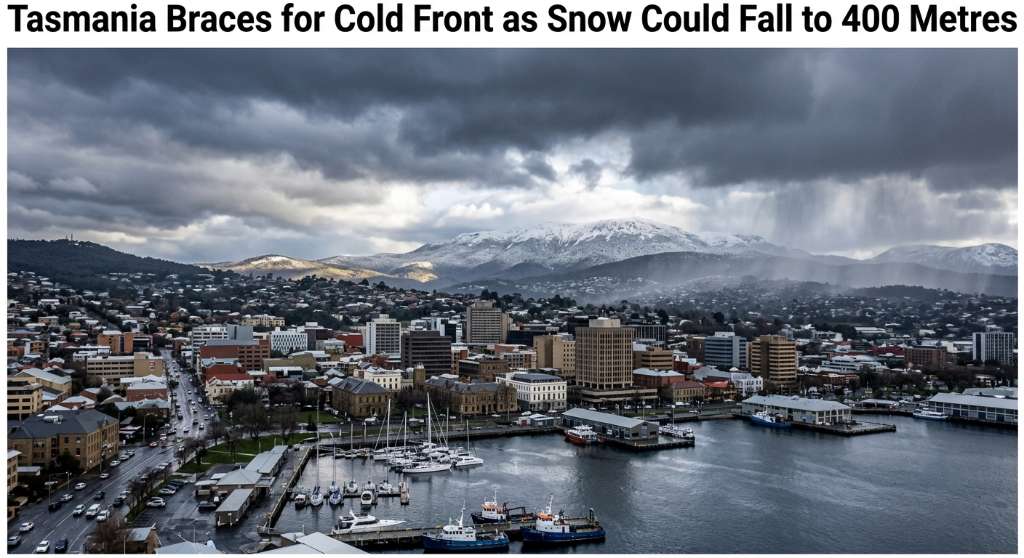
Tasmania Braces for Cold Front as Snow Could Fall to 400 Metres - Hobart, TAS
Smart summary
A major cold change is expected to bring showers, possible hail and snow to low elevations, with Hobart temperatures forecast to fall sharply.
Tasmania is preparing for a significant cold front that is expected to bring a sharp change in weather conditions, with snow potentially falling as low as 400 metres across parts of the state.
The Bureau of Meteorology has warned that the cold system will affect Tasmania from Tuesday, bringing showers, possible small hail and significantly colder temperatures. Hobart is forecast to experience a substantial drop, with the maximum temperature expected to fall from around 21°C on Monday to approximately 13°C on Tuesday.
The weather system is expected to have its strongest effects across western and southern Tasmania. Snow could reach unusually low elevations, with forecasts indicating the possibility of snow around the 400-metre level during Tuesday afternoon.
The Bureau has issued warnings for bushwalkers in the Western and Central Plateau forecast districts because of the potential for rapidly deteriorating conditions. People heading into alpine and elevated areas are being urged to prepare for cold, wet and potentially hazardous weather.
Road users are also being warned about conditions that could become dangerous as temperatures fall and snow affects higher roads. A road weather warning is in place for parts of the Central Plateau, Upper Derwent Valley and South East districts.
For Hobart residents, the most noticeable change will be the sudden fall in temperature following a relatively warm start to the week. The cooler conditions are expected to be accompanied by showers and the possibility of small hail.
The wider weather system is also expected to bring stronger winds around Tasmania's coastal waters. A marine warning has been issued for parts of the state's coastal areas, highlighting the broader impact of the cold front beyond the Hobart metropolitan area.
Farmers and livestock producers are also being advised to prepare for the colder conditions, with a sheep graziers warning issued because of the combination of low temperatures and weather conditions.
The change is another example of Tasmania's rapidly varying spring weather. After warmer conditions across southern Australia over the weekend, the incoming system is expected to bring a sharp return to winter-like conditions across parts of Tasmania.
Hobart itself is not expected to receive low-level snow, but the temperature change will be significant. Residents travelling outside the city into elevated areas should be aware that conditions may be considerably colder and more hazardous than in the metropolitan area.
Authorities are encouraging people to monitor updated weather and road warnings before travelling, particularly anyone planning trips through higher parts of Tasmania.
The cold front is expected to move through during Tuesday, with the heaviest rainfall forecast for western Tasmania. The combination of rain, hail, snow, strong winds and falling temperatures could create difficult conditions for motorists, bushwalkers and outdoor workers.
For Hobart and the surrounding region, the key message is to prepare for a rapid change in conditions. Residents can expect much cooler temperatures and unsettled weather as the cold front moves across Tasmania.
ConditionsTasmaniaWeatherExpectedCold
Tasmania is preparing for a significant cold front that is expected to bring a sharp change in weather conditions, with snow potentially falling as low as 400 metres across parts of the state.
The Bureau of Meteorology has warned that the cold system will affect Tasmania from Tuesday, bringing showers, possible small hail and significantly colder temperatures. Hobart is forecast to experience a substantial drop, with the maximum temperature expected to fall from around 21°C on Monday to approximately 13°C on Tuesday.
The weather system is expected to have its strongest effects across western and southern Tasmania. Snow could reach unusually low elevations, with forecasts indicating the possibility of snow around the 400-metre level during Tuesday afternoon.
The Bureau has issued warnings for bushwalkers in the Western and Central Plateau forecast districts because of the potential for rapidly deteriorating conditions. People heading into alpine and elevated areas are being urged to prepare for cold, wet and potentially hazardous weather.
Road users are also being warned about conditions that could become dangerous as temperatures fall and snow affects higher roads. A road weather warning is in place for parts of the Central Plateau, Upper Derwent Valley and South East districts.
For Hobart residents, the most noticeable change will be the sudden fall in temperature following a relatively warm start to the week. The cooler conditions are expected to be accompanied by showers and the possibility of small hail.
The wider weather system is also expected to bring stronger winds around Tasmania's coastal waters. A marine warning has been issued for parts of the state's coastal areas, highlighting the broader impact of the cold front beyond the Hobart metropolitan area.
Farmers and livestock producers are also being advised to prepare for the colder conditions, with a sheep graziers warning issued because of the combination of low temperatures and weather conditions.
The change is another example of Tasmania's rapidly varying spring weather. After warmer conditions across southern Australia over the weekend, the incoming system is expected to bring a sharp return to winter-like conditions across parts of Tasmania.
Hobart itself is not expected to receive low-level snow, but the temperature change will be significant. Residents travelling outside the city into elevated areas should be aware that conditions may be considerably colder and more hazardous than in the metropolitan area.
Authorities are encouraging people to monitor updated weather and road warnings before travelling, particularly anyone planning trips through higher parts of Tasmania.
The cold front is expected to move through during Tuesday, with the heaviest rainfall forecast for western Tasmania. The combination of rain, hail, snow, strong winds and falling temperatures could create difficult conditions for motorists, bushwalkers and outdoor workers.
For Hobart and the surrounding region, the key message is to prepare for a rapid change in conditions. Residents can expect much cooler temperatures and unsettled weather as the cold front moves across Tasmania.
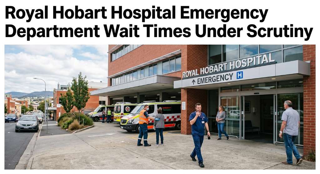
New figures have renewed concerns about emergency department delays at Royal Hobart Hospital, with the health system facing questions over patient waiti...
Cairns Regional Council has unanimously voted to seek $400,000 in Queensland Government funding for a program designed to connect local businesses with the region’s growing film...
An automated external defibrillator and memorial plaque have been installed at Ellery Creek Big Hole following the death of disability advocate Ellen Fr...
Queensland firefighters spent several hours monitoring a significant grass fire at Mary Kinross Park in Bargara, near Bundaberg, after the blaze broke out on Wednesday evening....