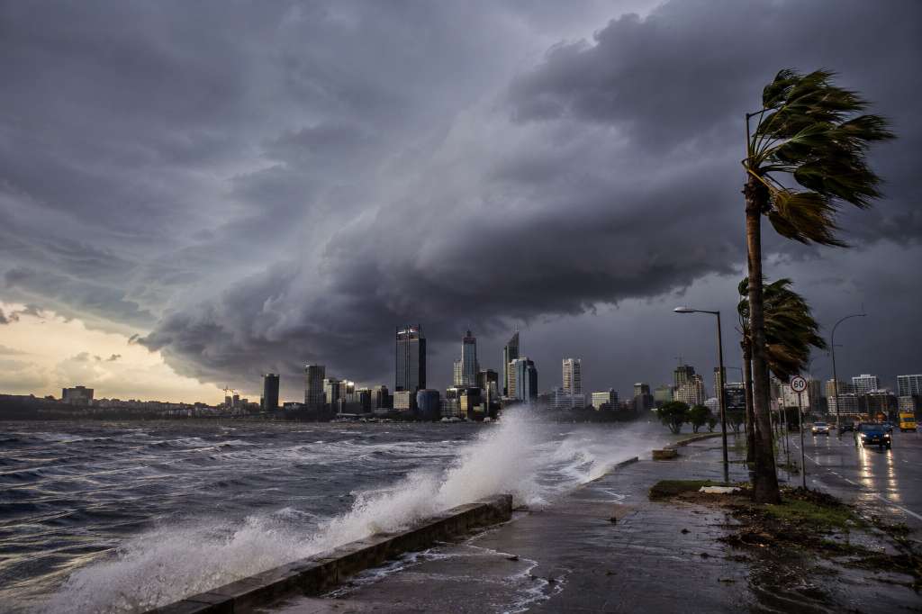
Thousands of residents across Western Australia are on high alert as a powerful weather system approaches the State, bringing the threat of destructive winds, flash flooding, dangerous surf conditions, and possible tornadoes.
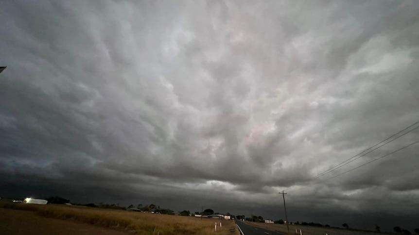
The Bureau of Meteorology (Bo M) issued an updated severe weather warning on Saturday morning, covering a vast area stretching from Kalbarri in the north to Esperance in the south. Meteorologists have described the approaching cold front as one of the strongest winter weather systems to impact the region in recent years.
Storm Expected to Hit Perth Before Sunrise Sunday
According to forecasts, the storm system will first impact the Central West region on Saturday evening before moving rapidly south and east. Perth is expected to experience the worst conditions before sunrise on Sunday, with the strongest wind gusts predicted around 10:00 PM.
Meteorologist Ilana Cherny warned that a second burst of severe weather is expected between Sunday night and early Monday morning. Areas between Lancelin and Albany could experience another round of damaging winds and heavy rainfall.
Destructive Winds and Heavy Rainfall Forecast
The Bureau has warned that wind gusts exceeding 125 kilometres per hour are possible in some locations. Such winds have the potential to uproot trees, damage homes and buildings, bring down powerlines, and cause widespread disruptions.
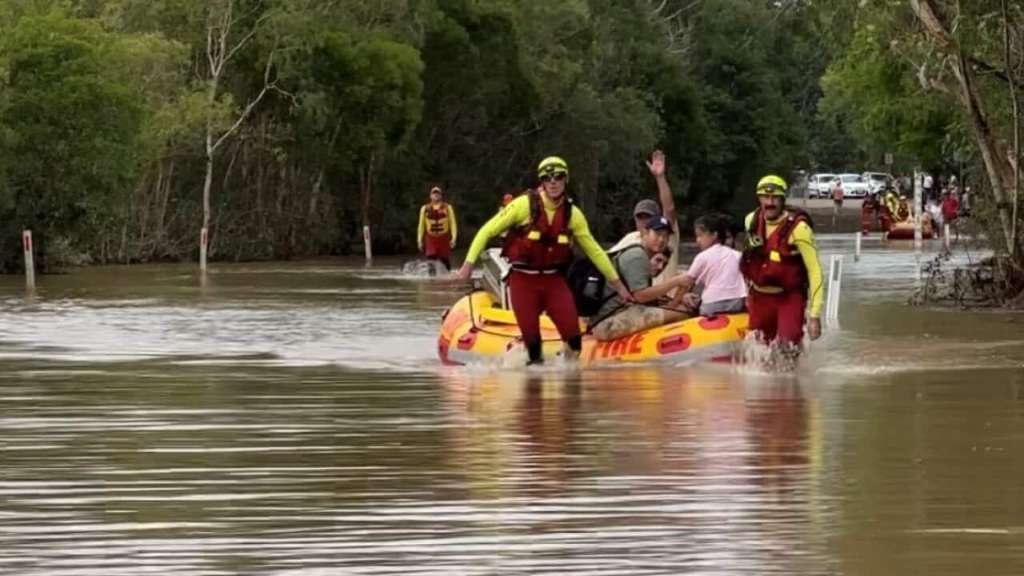
Heavy rainfall is also expected, particularly across the Central West district. Some areas may receive between 40mm and 60mm of rain within just three hours, significantly increasing the risk of flash flooding.
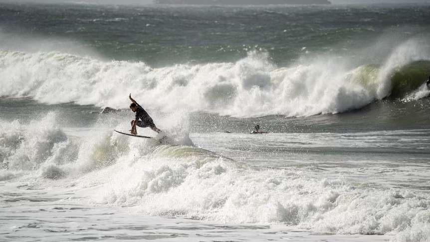
Authorities are also monitoring coastal areas closely as offshore waves could reach heights of up to eight metres. Coastal erosion and flooding are possible in low-lying communities and along parts of the Swan River.
Rare and Powerful Winter Weather Event
Bureau of Meteorology WA Manager James Ashley described the approaching system as unusually intense for the region.
He said the storm is likely to be the strongest winter weather event experienced in Western Australia this year and could be comparable to major systems seen only once every four to five years.
Tornado Risk for Southern Regions
Forecasters have also highlighted a small but significant risk of tornadoes developing in parts of the State's south.
Meteorologist Sarah Scully explained that isolated tornadoes may form ahead of the trough line between Saturday afternoon and Sunday morning. While any tornadoes are expected to be short-lived, they could develop quickly and be difficult to track.
Areas Likely to be Affected
Locations expected to experience severe weather include Perth, Albany, Bunbury, Esperance, Geraldton, Kalbarri, Katanning, Mandurah, Manjimup, Margaret River, Merredin, Moora, Mount Barker, Narrogin, Norseman, and Northam.
Emergency Authorities Urge Residents to Prepare
Emergency WA has urged residents to take immediate precautions by securing outdoor furniture and loose objects, preparing emergency kits, clearing gutters, trimming tree branches, and ensuring vehicles are fuelled.
Residents are also advised to keep essential supplies, including food, water, medications, and important documents, readily available in case communities become temporarily isolated.
Authorities continue to monitor the developing situation and have encouraged residents to stay informed through official weather updates and emergency alerts as the storm approaches.